Request for earth_relief_01s in area of no SRTM yields incorrect 15s resampled grid #3206
Description
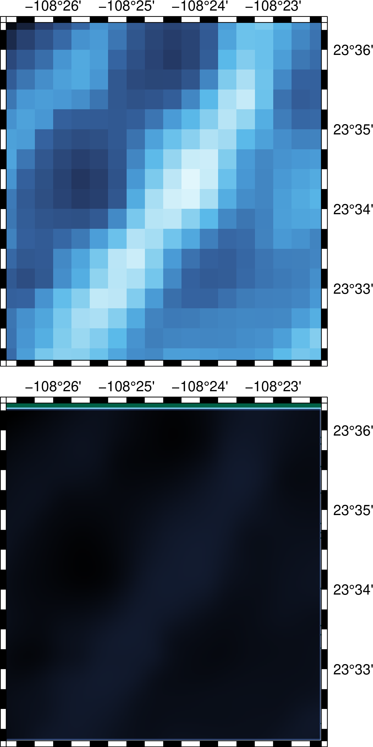
Requests for @earth_relief_01s will be filled in with @earth_releif_15s in the oceans since there are no SRTM tiles there. However, in the case below there are no land area so we end up with earth_relief_15s being resampled at 1s. Because the chosen region is not a multiple of 15s it gets truncated inward, not outward, and we end up with a strange strip near the north border. A plain map using earth_relief_15s directly has no such issues.
Script to produce the problem:
#!/usr/bin/env bash
RR2="-R-108.444/-108.3724/23.53499/23.6057"
gmt begin two png
  gmt subplot begin 2x1 -Fs10c -B -BwsNE $RR2
    gmt grdimage @earth_relief_15s.grd -V -JM? -c
    gmt grdimage @earth_relief_01s.grd -V -c
  gmt subplot end
gmt end show
Result: